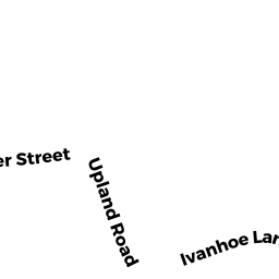
6 IVANHOE LN
Owner Information
KAMINSKY EUGENE N
6 IVANHOE LN
ANDOVER, MA 01810


Property Details
6 IVANHOE LN is classified as a Single Family Residential (Cape).
The primary structure on this property was built in 1970. There are 2,292ft2 of built area within this property. There is 2,292ft2 of residential/living space within this property. This property is listed as having 8 rooms.
6 IVANHOE LN is valued at $561,600. The land is valued at $300,700 and the structures are valued at $260,900.
This property is in Zone SRA. Confirm with local Zoning Board authorities to ensure there are no overlays or other easements on this property.
The most recent deed for 6 IVANHOE LN is recorded at the local registrar in Book 14619, Page 264. 6 IVANHOE LN was last sold on Friday, May 6, 2016 for $520,000.
Assessment data from fiscal year 2021.
Flood Data
According to the FEMA National Flood Hazard Layer, this property does not appear to be in a flood zone. It may also be in an area not yet reviewed. Nonetheless, confirm this information prior to taking any action.
To view the flood hazards around this property, create a FEMA "Firmette" Map of the area around 6 IVANHOE LN.
Broadband Internet Providers
| Provider | Type | Bandwidth (mbps) | |
|---|---|---|---|
| HughesNet | Satellite | 25 | 3 |
| VSAT Systems, LLC. | Satellite | 2 | 1 |
| Viasat Inc | Satellite | 100 | 3 |
| Comcast | Cable | 1000 | 35 |
| Verizon New England Inc. | Fiber | 940 | 880 |
| GCI Communication Corp. | Satellite | 0 | 0 |
| Verizon New England Inc. | DSL | 7 | 0 |
Broadband service provider data from December 2020.
Adjacent Properties
- 4 IVANHOE LN
Single Family Residential owned by BRESNAHAN NANCY E - 77 SUMMER ST
Single Family Residential owned by KIM SEUNGSOO - 73 SUMMER ST
Single Family Residential owned by JORDAN JEFFREY - 71 SUMMER ST
Single Family Residential owned by MURRAY MARY PATRICIA - 79 SUMMER ST
Apartments with Four to Eight Units owned by CAMPION KRISTI L - 85 SUMMER ST
Single Family Residential owned by FORD FAMILY REVOC TRUST - 8 IVANHOE LN
Single Family Residential owned by HASKELL WILLIAM E III